National Grid — Rolta International, Inc Rhode Island
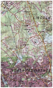
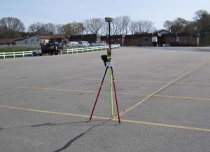
 LRC was responsible for managing all ground survey and processing of global positioning system (GPS) data. Project included surveying and establishing elevations and coordinates on 75 picture points throughout the towns of North Smithfield, W oonsocket, Cumberland, Lincoln, Pawtucket & North Providence. Ground control used for a basis to map 96 square miles for Gas mapping.
Project planning included preparing sky plots and daily processing of baselines. Final deliverables included a complete adjusted and restrained network report and map.
Horizontal control was referenced to the North American Datum (NAD) of 1983 projected onto the Rhode Island State Plane Coordinate System. Elevations are referenced to the North American V ertical Datum (N A VD) of 1988. The Field Survey was a combination of Static and Fast Static GPS survey methods. The survey was tied to local horizontal and vertical control with a minimally constrained adjustment at the 95% confidence level.


