Springfield Water and Sewer Commission — AECOM Springfield, MA
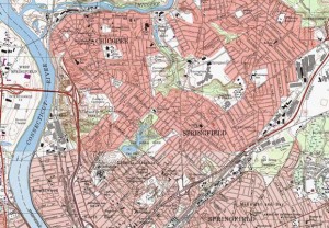
 LRC was responsible for mapping a 700 acre portion of the city for a federal mandated storm water and sanitary sewer separation project. LRC was responsible for mapping a portion of the northwest corner of the city at a one foot contour interval. The initial survey included mapping the roadways, buildings and developing contours for a sewer study. The ground control was run utilizing the global positioning system (GPS) static and fast static survey methods on approximately 22 control points throughout the city.
Horizontal control was referenced to the North American Datum (NAD) of 1983 projected onto the Massachusetts Mainland Coordinate System. Elevations and contours are referenced to the North American Vertical Datum (NAVD) of 1988. The static and fast static survey was tied to local horizontal and vertical control with a minimally constrained adjustment at the 95% confidence level.
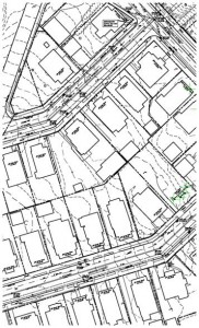
The final mapping project included detail mapping of approximately 40,000 L.F. of roadway located in the initial survey area. The survey included locations of all utility structures such as manholes, catch basins, utility poles, gas & water gates, etc.
All underground utilities were compiled from mapping as supplied by the respective utility companies and governmental agencies and field verified by utilizing a utility mark out company.
 Additionally LRC was responsible for preparing easement mapping for permanent and temporary easements. This included field location of property monumentation and research at the Hampshire County Register of Deeds and the State Department of Transportation.
All survey work was prepared in accordance with the Procedural and Technical Standards for the Practice of Land Surveys in the Commonwealth of Massachusetts.


